Augmented Reality map of our offices and other technical solutions coming up
The Public Link (TPL) is an interesting project about research and development in new technologies that could be used in the provision of public services. It is about spreading knowledge about already available technological solutions and helping new ideas to sprung through the demonstration of these latest applications to regional stakeholders.
We all know how fast technology is changing and how hard it is to follow it if you do not have enough time. That is why in TPL we focus on discovering what is currently available on the market and how it could be used to help us here in the region of South Ostrobothnia to provide public services. This involves researching technologies like Augmented and Virtual Reality (AR & VR), chatbots, virtual shared workspaces and new communication channels.
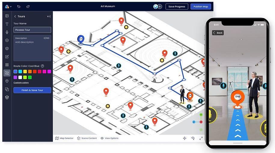
The ones that we have decided to push forward as a pilot project are Augmented Reality maps of our offices and part of FRAMI buildings (research centre where regional council has offices). Thanks to this, you will no longer have to ask anybody for directions. You will just open an AR map on your phone and choose where you want to go, the office or even a specific person. Your phone will recognise where you are and display directions on your screen. In the same way, as e.g., Google Maps does it. We plan to release this solution in December 2022. Feel free to come and test it yourself!